Jessica Hassan
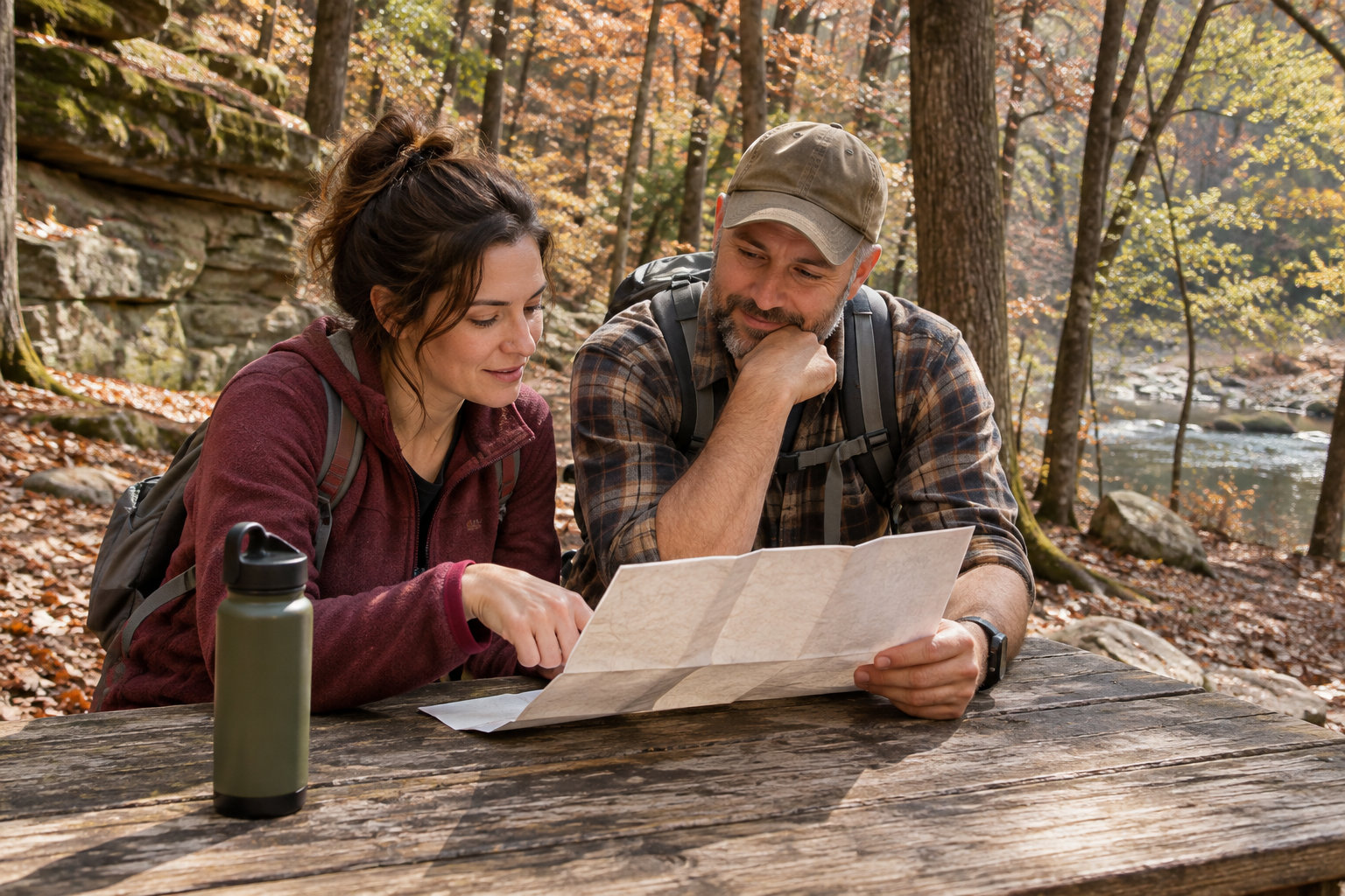
Little River Canyon National Preserve is one name on a map, but it is not one parking lot or one kind of outing. From the Fort Payne side, you can make a short stop at Little River Falls, follow the canyon rim for overlooks, or spend time beside the river at Canyon Mouth Park. The first two choices have no entrance fee; Canyon Mouth is the preserve’s fee area. Choose the place that matches the view, walking and daylight your group wants before setting a navigation destination.
Read the canyon from top to bottom
Little River Falls sits near the Highway 35 bridge at the north end of the canyon. From there, the National Park Service’s rim-road guide describes an 11-mile drive with eight overlooks along Highway 176. The parkway exits the preserve at Eberhart Point; the continuation toward Canyon Mouth uses Cherokee County Roads 148 and 275. That last stretch is a road descent to another destination, not a trail from the falls parking lot.
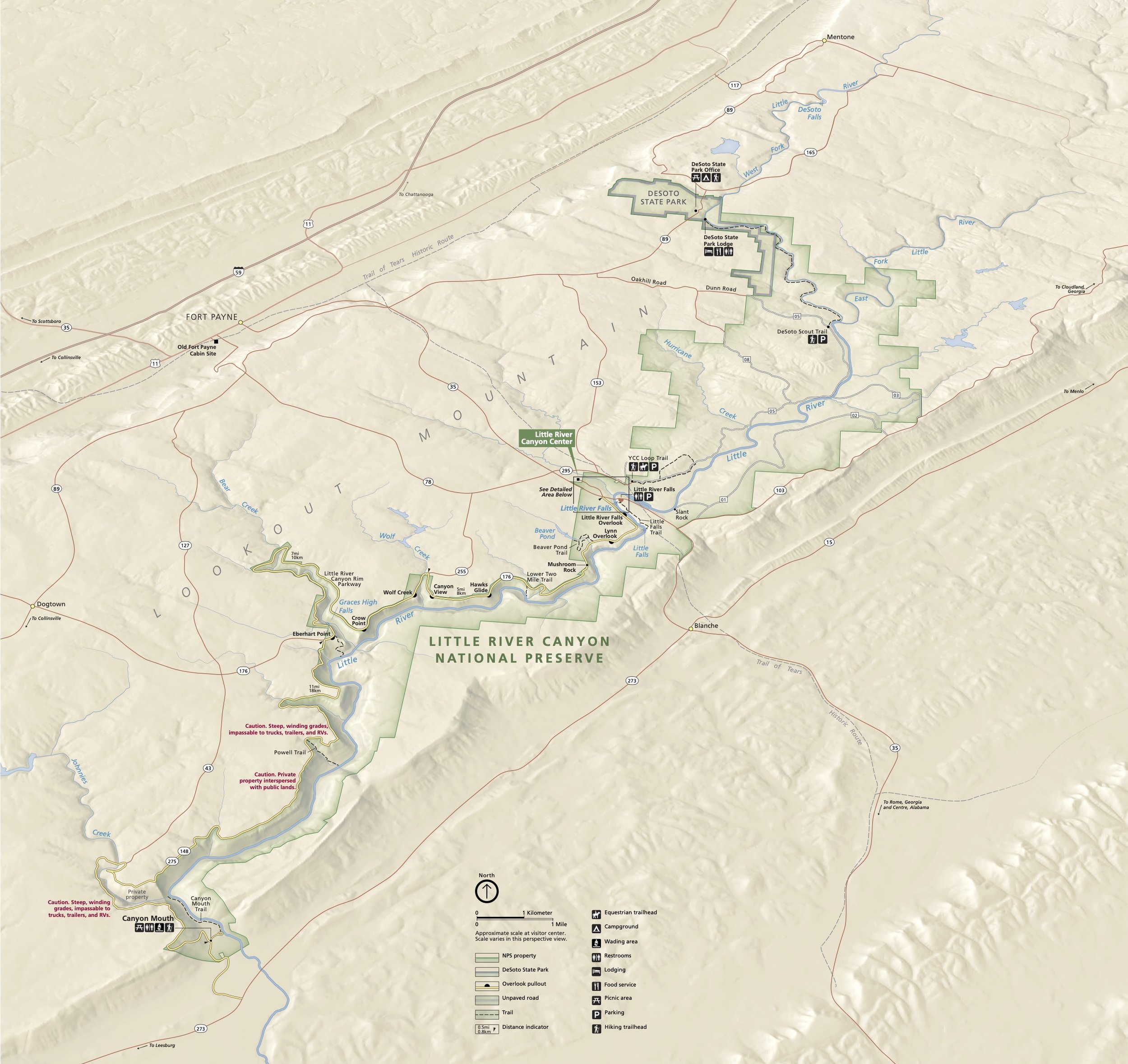
Use the map to separate the three destinations, then read the current NPS map page and alerts and conditions before driving. A map label is not a promise that a road, trail or gate is open. The rim-road page does not recommend RVs or trailers on Highway 176 because of sharp turns, steep hills and lack of shoulders; it says they are not allowed on the county-road descent to Canyon Mouth. If you are traveling with one, plan a different visit rather than assuming the same route works for every vehicle.
For the waterfall, distinguish the boardwalk from the longer trail
For a first look at the falls, the Little River Falls boardwalk is the focused choice. NPS describes it as 100 feet long and six feet wide and says it provides easy access for visitors using wheelchairs or with other disabilities. Its waterfalls page places the paved parking lot on the west side of the Highway 35 bridge and describes an accessible boardwalk view. Those details support a shorter, lower-walking visit; they do not certify that every part of the lot, restroom or route will meet one visitor’s needs on a particular day.
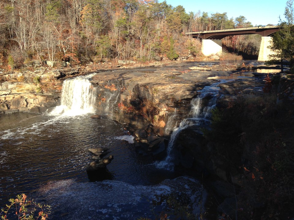
The falls overlook and the route down to Little Falls are not the same walk. NPS describes the separate Little Falls Trail as three quarters of a mile with 137 stone stairs down to the river. Do not let a boardwalk description become an expectation that the river-level trail is step-free. The waterfall’s flow also changes with rainfall. Enjoy the view from designated walkways, stay behind barriers and do not treat the photograph as a report of today’s water level.
For a series of views, keep the rim drive as its own outing
The rim parkway offers eight overlooks along 11 miles, according to NPS. It is a choice for people who want to see the canyon from above in several places rather than spend the visit at one waterfall or one picnic area. The preserve’s current hours page lists the scenic drive and overlooks as free and open daily from sunrise to sunset. Pick a few stops, leave room for parking and the return drive, and use posted information at each stop to decide whether to walk farther. The number of overlooks does not make every platform or trail the same distance or accessibility level.
If your vehicle has a trailer, the road advice above changes the plan. If daylight is limited, a single falls stop may be more useful than trying to complete the rim and the descent. Neither choice needs a Canyon Mouth ticket merely because it is within the same national preserve.
For time beside the river, choose Canyon Mouth deliberately
Canyon Mouth Park is a different day-use choice at the lower end of the canyon. NPS lists paved parking, restrooms, picnic tables and grills, a playground, river access and an easy one-mile riverside trail. This fits a picnic or longer river-side stop better than a quick rim overlook. It does not make every river activity suitable on every flow day; check the park’s conditions before choosing water access.
As checked November 15, 2026, NPS calls Canyon Mouth the preserve’s only fee area and lists a $15 day-use pass per vehicle or a $35 annual pass. It says the fee machine accepts cash and cards and recognizes America the Beautiful passes and the preserve’s passes. The hours change by season: 8 a.m.–6 p.m. in spring and fall, 8 a.m.–7 p.m. in summer, and 8 a.m.–5 p.m. in winter, all Central time. NPS warns that vehicles left behind the gate after closing can be ticketed or towed. Recheck the current hours and fee page for your date; the gate, not sunset at an overlook, sets your Canyon Mouth exit time.
Make one first visit fit the group
Suppose your group has a short window and wants one waterfall view with little walking. Start with the Falls parking area and boardwalk; the longer stair trail is a separate decision. If the main wish is several canyon views and you have a passenger vehicle and daylight, choose the rim drive and stop only where the posted access fits. If a picnic, playground and river-level time are the point, make Canyon Mouth the destination, budget its vehicle pass and turn back early enough to clear the seasonal gate. These are choices from the park’s published features, not a promise that a particular route is open today.
The earlier Fort Payne outdoor-routine guide compares Little River Canyon with DeSoto State Park and DeSoto Falls for someone thinking about everyday outings. This guide stays inside Little River Canyon and separates its own boardwalk, rim road and fee area. Use the broader guide if the real choice is between different parks, not just between places within this preserve.
Conclusion: select the destination before the drive
The falls boardwalk gives a focused viewpoint; the free rim road trades one stop for a sequence of overlooks; Canyon Mouth adds facilities and river-level time with a vehicle fee and a seasonal closing gate. Decide which experience matters most, check current NPS conditions and use the right access point for that choice. That small planning step avoids paying for the wrong area or arriving with a vehicle the road cannot take.
Want Personalized Real Estate Help?
If you are considering a home near Fort Payne or elsewhere in DeKalb County, I can help you compare the everyday routines and actual property locations that matter to your move. Contact me to talk through your priorities. You can also explore Fort Payne-area homes as a broader comparison; those listings do not certify a property’s distance, route or park access.
Sharing is Caring:
Author