Jessica Hassan
If you are getting to know Madison, Rainbow Mountain can look like an easy addition to an ordinary afternoon. Start with the surface you want: a rocky woodland hike, or a smoother walking routine. The preserve has short upper trails as well as routes that descend the mountain, so a small mileage number alone will not tell you which outing fits.
Rainbow Mountain Nature Preserve is in the City of Madison, with trails managed by the Land Trust of North Alabama. The city’s trail directory describes the loop along the ridge and east side as rocky. This guide helps you choose an entrance and level of effort, rather than treat the whole network as one walk.
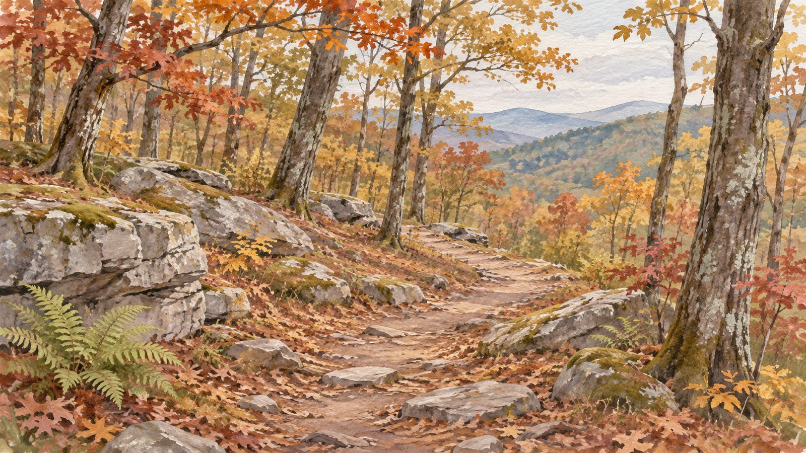
The featured woodland painting is an AI-generated conceptual illustration, not a photograph of Rainbow Mountain. The documentary rock photograph below is separately identified.
Would a paved walk fit today better?
For a short break when you want a paved surface rather than rock-and-root footing, the city identifies Dublin Park’s half-mile paved walking path. It has a slight incline; paved does not mean perfectly level or establish every accessibility feature. That gives you a concrete alternative without asking a natural mountain trail to serve the same purpose. See the city’s descriptions of walking paths and trails.
If you are comparing a longer corridor routine around west Huntsville and Madison, my Indian Creek Greenway segment guide separates the north and south sections and their access choices. It answers a different question from this rocky-trail outing. Neither guide establishes a continuous connection from a particular home.
Start high, or begin with the climb?
The primary destination is Rainbow Mountain Trailhead, 230 Stoneway Trail, Madison, AL 35758. The operator’s access description identifies parking by the pavilion and kiosk, plus an uphill area by the water tower with access to Balance Rock Trail. Begin at the kiosk if you need to orient yourself before choosing a route.
The other entrance is Kensington Trailhead on Kensington Drive, Madison, AL 35758, at the cul-de-sac. Rainbolt Trail climbs from there to the Rainbow Loop–Wild Trail junction. Starting here puts an ascent into the approach; it is a different first move from arriving at the upper trailhead. The operator lists only limited street parking at Kensington, so it is not an overflow lot for Stoneway. Follow posted restrictions and leave driveways clear.
The general Land Trust parking rule closes a preserve to additional visitors when trailhead parking is full and prohibits street or undesignated overflow parking. Read that alongside the specifically identified Kensington access, not as permission to find another nearby curb. When the lawful spaces are full or signs are unclear, choose another outing; the Land Trust can clarify site-specific parking at 256-534-5263.
Match the route to the effort, not just the mileage
Use the operator-linked trail map to locate the named trails. The lengths below are individual trail lengths, not guaranteed door-to-car totals. Parking approaches, connections and any retracing add distance.
| What you want | Start with | Published length and practical distinction |
|---|---|---|
| A small introduction near the upper trailhead | Stoneridge and Jake’s trails | Each is listed at 0.07 mile. These are upper-area options; rocks and roots still matter. |
| Rock formations without committing to the full mountain loop | Balance Rock Trail from the upper access | 0.27 mile. A ridge-side option; plan the connection back rather than treating this number as a complete circuit. |
| A deliberate mountain hike | Rainbow Loop Trail | 1.53 miles. Includes the descent and an uphill return to the upper starting area. |
| An approach from the Kensington entrance | Rainbolt Trail | About half a mile one way. The map labels 0.48 mile; the current overview rounds to 0.5. Reaching its junction is not completing the Rainbow Loop. |
The Land Trust’s terrain descriptions put the mountain’s elevation change at about 350 feet and distinguish the easier upper area from the more demanding downhill trails. A descent spends some of the energy you will need to climb back. If you want only the upper rock formations, make that the outing rather than following an inviting downhill branch to see where it goes.
Short connectors can also be steep. Spring Trail is listed at 0.2 mile with about 230 feet of elevation change; Berry Trail is only 0.08 mile but described as a steep, narrow connector. Those are poor shortcuts if your reason for shortening the outing is to avoid climbing. The map carries a July 2023 date even though the linked sheet includes Rainbolt; use current signs and the operator’s present descriptions with it.
For example, someone hoping for a brief first look at the rocks could start at Stoneway, locate Balance Rock Trail and return before adding a downhill route. Someone deliberately seeking elevation can choose the loop and keep energy for the ascent. These are planning choices, not measured itineraries or promises about how quickly anyone will finish.
What does “rocky” look like?
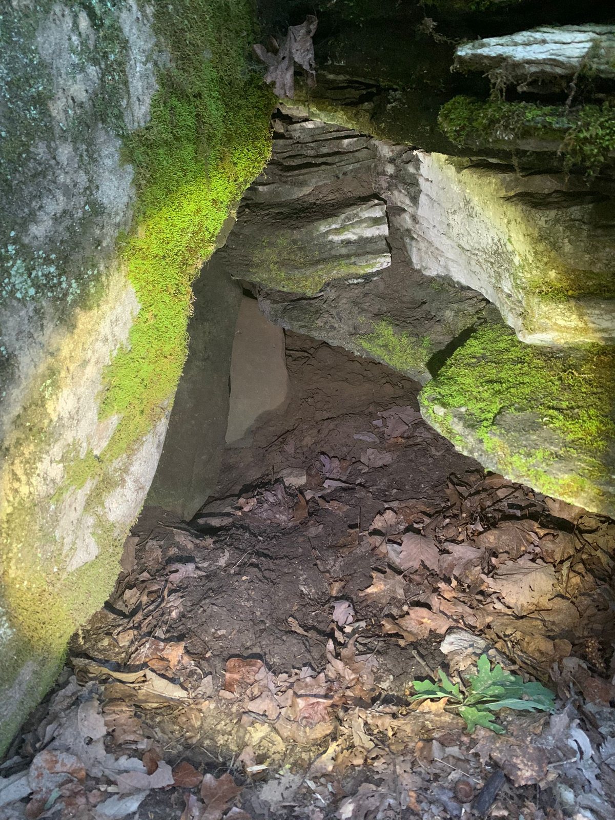
This real photograph shows layered rock walls, a narrow crevice and loose fragments under leaves. It gives the rock formations a physical appearance that a mileage table cannot. It does not show a marked trail, identify a permitted passage or establish conditions along your chosen route. Use the marked trail, not the apparent gap in a photograph.
After rain, make the paved alternative your plan
The Land Trust’s current rules say to stay off wet trails and specify 24 hours after rainfall. Do not treat the end of that interval as permission to use a trail that remains muddy. The rule protects the trail from ruts and erosion; waiting until conditions are suitable is part of using this preserve responsibly.
Trails are open dawn to dusk. Stay on marked routes, keep pets leashed and carry out what you bring. Bring water and a downloaded or paper map; choose footwear for uneven rock rather than assuming a short route needs no preparation. Keep these ordinary hiking needs in the plan without turning an afternoon walk into a major expedition.
Try the routine before making “nearby” a home-search requirement
If outdoor time matters to your Madison move, distinguish a regular paved walk from the rocky hike you might choose on a dry day. A home can be convenient for one and less useful for the other. Try the public entrance you would actually use and compare that trip alongside work, groceries and the return home.
A listing’s nearby-preserve wording does not establish a public neighborhood shortcut, legal parking or a comfortable walking connection. Keep the address-to-entrance trip separate from the trail itself. That helps you decide whether mountain access belongs on your everyday list, your occasional-outing list, or neither.
Final Thoughts
Rainbow Mountain fits best when you choose it for its rocky terrain. Start high for a smaller upper-area outing, or intentionally choose a route with a climb; keep the full return in mind. On a wet day, or when you want paved footing, choose the walking alternative that fits the day. Learning that distinction is more useful than simply collecting another nearby park name.
Want Personalized Real Estate Help?
Thinking about buying, selling or relocating in Madison? Tell me which everyday routines matter to your move. I can help you organize a home comparison around those priorities, with the public entrances and property-specific access questions kept clear.
Explore homes in the broader Madison area as a starting point. This search also reaches surrounding communities; it does not filter for Rainbow Mountain access, paved paths, municipal boundaries or a particular travel time.
Sharing is Caring:
Author

Sources and review notes
Sources checked November 2, 2026. This is a route-planning guide, not a same-day trail-condition report or accessibility assessment. The operator’s preserve page, linked map and rules are the starting points for changing access information.