Jessica Hassan
A Sipsey Fork float above Smith Lake begins with a land decision: where will you put in, where will you get out, and how will you return to the first vehicle? Alabama’s wildlife agency describes three different stretches. The shorter mileage on the lower stretch does not turn it into a guaranteed quick paddle, while the two longer stretches require a full-day plan before you add a fishing stop.
This is a route-choice guide for the Winston County side of the upper fork, not a launch clearance for any particular day. Published access descriptions, rainfall and water levels answer different questions. Start with the route, then make a separate current-conditions decision before loading a boat.
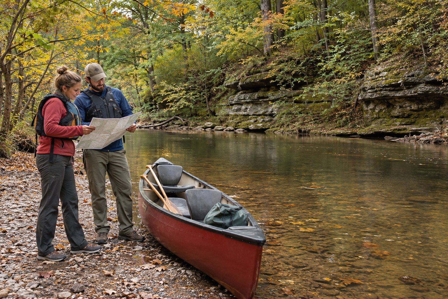
Image note: The featured hero is an AI-generated, generic wooded-river scene. It does not show the Sipsey Fork, a named launch, or current water conditions.
See the access points as a downstream chain
The Alabama Department of Conservation and Natural Resources’ Upper Sipsey Fork guide names a sequence of access points and two possible endings for its lower float. Read them in downstream order rather than choosing a river name and assuming every road reaches the same water:
| Published stretch | Length in the state guide | What changes in the plan |
|---|---|---|
| Thompson Creek iron bridge off Forest Service Road 208 to Sipsey River Recreation Area at Winston County Road 60 | 9.5 stream miles | Wilderness stretch. The agency gives 10 hours or more for a float-and-fish outing and advises wetter months to reduce dragging over shoals. |
| Road 60 recreation area to W.T. Mims’ Family Public Access Point at Highway 33 | 9 stream miles | The agency describes about nine hours to float and fish, and says low-rainfall periods can make this stretch difficult to float. |
| Mims at Highway 33 to Payne Creek at Moody Bend, or farther to the County Road B15 / Forest Service Road 109A access | About 2.5 miles to Payne Creek or 4.5 miles to B15 | This is the lower, slower-current choice. The state guide gives no trip duration for either ending, so mileage alone cannot set a pickup time. |
The first stretch begins near the Lawrence County headwaters and reaches Road 60 in Winston County. That Winston crossing anchors this comparison; the Mims and lower takeouts are separate downstream locations, so verify their exact access before planning the return. The state guide calls the stream the Sipsey Fork; it notes that this is often confused with the separate Sipsey River in another basin. Keeping the exact waterway and access names together matters when speaking with a shuttle driver or checking a map.
Let the kind of day select the stretch
If a long, remote float with fishing is the point of the trip, the agency’s Road 60-to-Mims estimate is already about nine hours for floating and fishing. That is not a promise about paddling speed, and it does not include driving the shuttle, unloading, a late start or a delayed takeout. The upstream 9.5-mile wilderness stretch is an even bigger commitment under the agency’s published estimate.
If a shorter river outing is the goal, the Mims-to-Payne Creek or Mims-to-B15 alternatives put two different takeouts on the table. The shorter Payne Creek ending saves published stream miles; B15 extends the outing past Sandy Creek’s mouth. Yet the agency calls this reach the slowest current of the three. A shorter distance can still take longer than an inexperienced paddler expects, especially when water is low or the group stops often. Choose the takeout by the time and assistance you can realistically arrange, not by a mileage-only estimate.
The federal Wild and Scenic Rivers description explains why a good-looking water day is not always a navigable one: seasonal drought can leave shallow runs between pools, while rain can raise the river rapidly. The protected corridor is valuable for its bluffs, scenery and solitude; that designation does not certify today’s water or any launch as suitable for your group.
Plan the return before the launch
On a downstream float, the takeout is a commitment, not a detail to settle once everyone is on the water. For example, a Road 60 start with a Mims finish needs a way to move people and boats between those two different road crossings. A Mims start needs a chosen Payne Creek or B15 pickup, not an assumption that either exit will be convenient after dark. The state guide specifically advises a good map before casting off.
Write the named put-in and takeout on the same plan; arrange the driver or second vehicle and confirm that the chosen road access and parking are usable for your date and equipment. Keep the boat’s actual capacity, daylight, loading time and all paddlers’ experience in that plan. The published river description does not establish current parking capacity, a maintained launch at every named point, road condition, cell service or a safe return time. An outfitter or the responsible land manager can address those route-specific gaps before you commit a vehicle.
Use water data as a question, not a green light
The USGS Sipsey Fork near Grayson station is in Winston County and offers stream observations when data are available. It is a monitoring point, not a route-specific paddling threshold. A reading at one station cannot tell you that every shoal is passable, that a takeout is open, or that rainfall upstream will leave the river unchanged later in the day. Check the timestamp and data availability before using a chart as context.
Then read the National Weather Service’s flood watches, warnings and river products with the forecast for the actual trip area. A watch means conditions are favorable for flooding; a flash-flood warning means flooding is occurring, imminent or highly likely. Those are reasons to change the plan, not hurdles to explain away with yesterday’s gauge reading. The federal river description says levels can move from low flow toward flood stage within hours after intense rain. No single number in this article is a safe-launch rule.
If conditions or access cannot be settled for the planned date, a land-based Bankhead visit is a different choice, not a failed float. If you want to turn a day outing into a wilderness overnight, read the separate Sipsey overnight group and gear guide; its camping and equipment rules answer a different question from this shuttle plan.
Conclusion: choose the takeout, then test the day
The state guide makes the first comparison possible: two long float-and-fish reaches and a lower reach with two possible endpoints. For a Winston County outing, choose the named ending and return arrangement before you treat mileage as an itinerary. Then use current access, water and weather information to decide whether that particular day still works. The river’s scenery will be there for another day if the conditions do not fit.
Want Personalized Real Estate Help?
If time on the river is part of why Winston County appeals to you, I can help you compare that recreation goal with the actual home, road and daily-service questions that shape a move. Contact me to talk through the place you want to call home. You can also explore homes around Double Springs as a broader area search; a listing does not establish a float access, river condition or drive time.
Sharing is Caring:
Author