Jessica Hassan
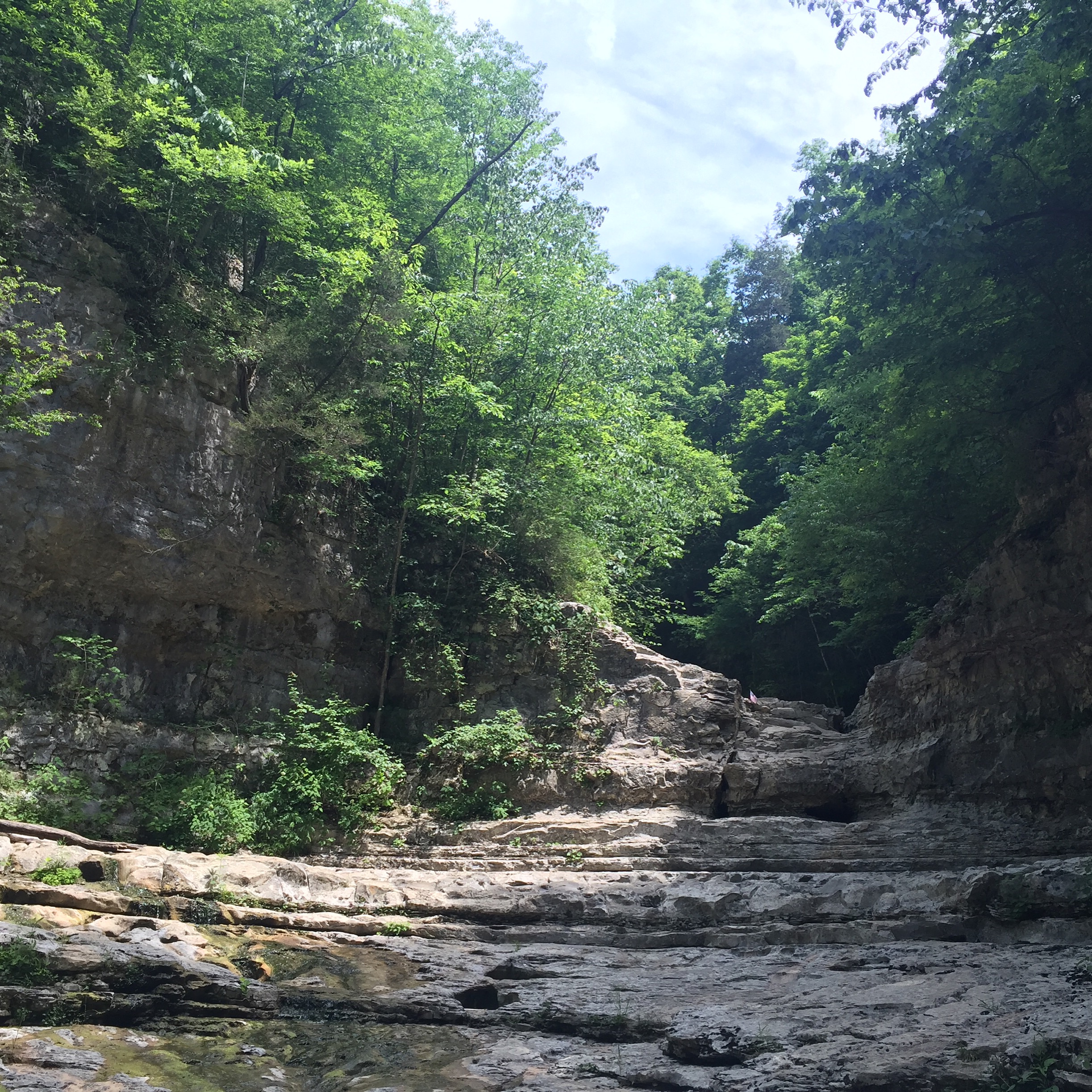
The limestone amphitheater is the reward most people picture at Walls of Jericho. Getting there is a real hike, though, and the same Jackson County tract has another hiking loop and a separate riding route. Choose the route before you choose a parking lot. Alabama Forever Wild’s tract page and its official trail map are the best starting points for the day’s route check.
Choose the experience, then the parking area
The two marked hiking choices begin at the northern hiking parking area on Alabama Highway 79. The riding route begins at a different, southern parking area on the same highway. If you are driving north, the riding lot comes first; passing it does not mean you missed the hiking lot. Follow the operator’s directions and current on-site signs rather than assuming any parked car marks your start.
| Your plan | What the operator describes | Start and decision |
|---|---|---|
| Reach the Walls amphitheater | Six miles round trip; difficult, with a descent into the canyon | Northern hiking lot; choose this only if your group can manage the climb back |
| Take a marked hiking loop without committing to the Walls descent | Bear Den Point Loop, 4.7 miles; described as moderate | Same northern hiking lot; heads east instead of west |
| Ride the designated horse trail | A distinct route, with conflicting published mileages | Southern riding lot; confirm the current route and distance with the operator |
This is a route choice, not a promise that the Bear Den loop is easy or that either trail is suitable for every visitor. The operator’s route profile calls Bear Den moderate and the Walls hike strenuous. Read the map symbols with the current trailhead information before setting out.
Budget for the return climb on the Walls hike
The Walls trail heads west from the hiking lot, drops to Hurricane Creek, then follows Turkey Creek toward the limestone amphitheater. Alabama Forever Wild describes the full visit as a six-mile round trip and a difficult hike. Its profile says the route descends more than 1,000 feet from the trailhead. That descent becomes the climb out; a three-mile-looking line on a map is not a three-mile outing.
At Clark Cemetery, the operator describes an upper trail above the amphitheater and a lower trail into it. Keep that branch decision for the actual signed junction. The map is useful for recognizing the red hiking lines, but it does not prove present trail conditions. Carry enough water, check the forecast, allow daylight for the return, and turn back if the terrain or conditions exceed your group’s plan.
Keep the hiking and horse routes distinct
The operator profile says hiking trails are blazed in red and the horse trail in yellow; the operator says the riding trail starts at the southern parking area. Its profile says horses are not permitted beyond the hitching post near Clark Cemetery. Hikers should not treat the riding lot as a shortcut to the amphitheater or infer that a trail crossing changes the designated route.
There is a published distance conflict for the horse route: the current tract page says 11 miles, while its operator profile describes an 8.3-mile loop. Those figures may describe different route versions or measurements; the two operator pages do not resolve which applies to a particular ride. Ask Alabama Forever Wild for the current riding route and distance before relying on a mileage. The map is linked for navigation planning, not reproduced here because its copyright notice does not provide reuse permission.
Make a practical plan before the drive
- Open the operator’s tract page for the hiking and riding parking directions and any updated access information. Check the official map alongside the trailhead kiosk; keep the hiking and riding symbols separate.
- Choose the Walls hike only with enough time and capacity for the return ascent. If your group wants a moderate marked loop instead, compare Bear Den Point rather than assuming the Walls is a brief overlook walk.
- Check weather and trail conditions shortly before departure. Primitive campsites are described on the operator page, but a day-trip plan should not depend on a campsite or on finding a particular crossing passable.
The tract also permits hunting under its wildlife-management rules. The license and map/permit requirements shown on the tract page apply to hunters; they are not stated as hiking-permit requirements. If you plan to hunt, consult the current wildlife-management rules rather than this hiking guide.
If Jackson County is on your list of places to live, a hike can introduce the landscape but cannot tell you the drive from a particular home, the legal trail access or what your everyday routine would be. Keep those property-specific questions separate as you explore the area.
Conclusion
For a first Walls of Jericho visit, the decisive choice is whether you want the difficult canyon descent and return climb, the separate moderate Bear Den loop, or the designated horse route. The two hiking trails share the northern lot; riders use the southern lot. Recheck the operator’s guidance before travel, especially because its horse-route distances disagree. If a more flexible waterfall outing fits your group better, my DeSoto Falls viewpoint guide answers a different walking-access question.
Want Personalized Real Estate Help?
If a move in Jackson County is on your mind, explore homes across Jackson County and nearby communities as a broad starting point. The search can reach nearby Tennessee and Georgia; it is not a county-boundary, trail-access or travel-time filter. I can help you compare the actual places and daily routes that matter to you. Contact me to talk through your plans.
Sharing is Caring:
Author

Sources and review notes
Featured photograph: Lahti213 / Wikimedia Commons, CC BY-SA 4.0. Original 2016 image; no changes made. It does not show current trail conditions.