Jessica Hassan
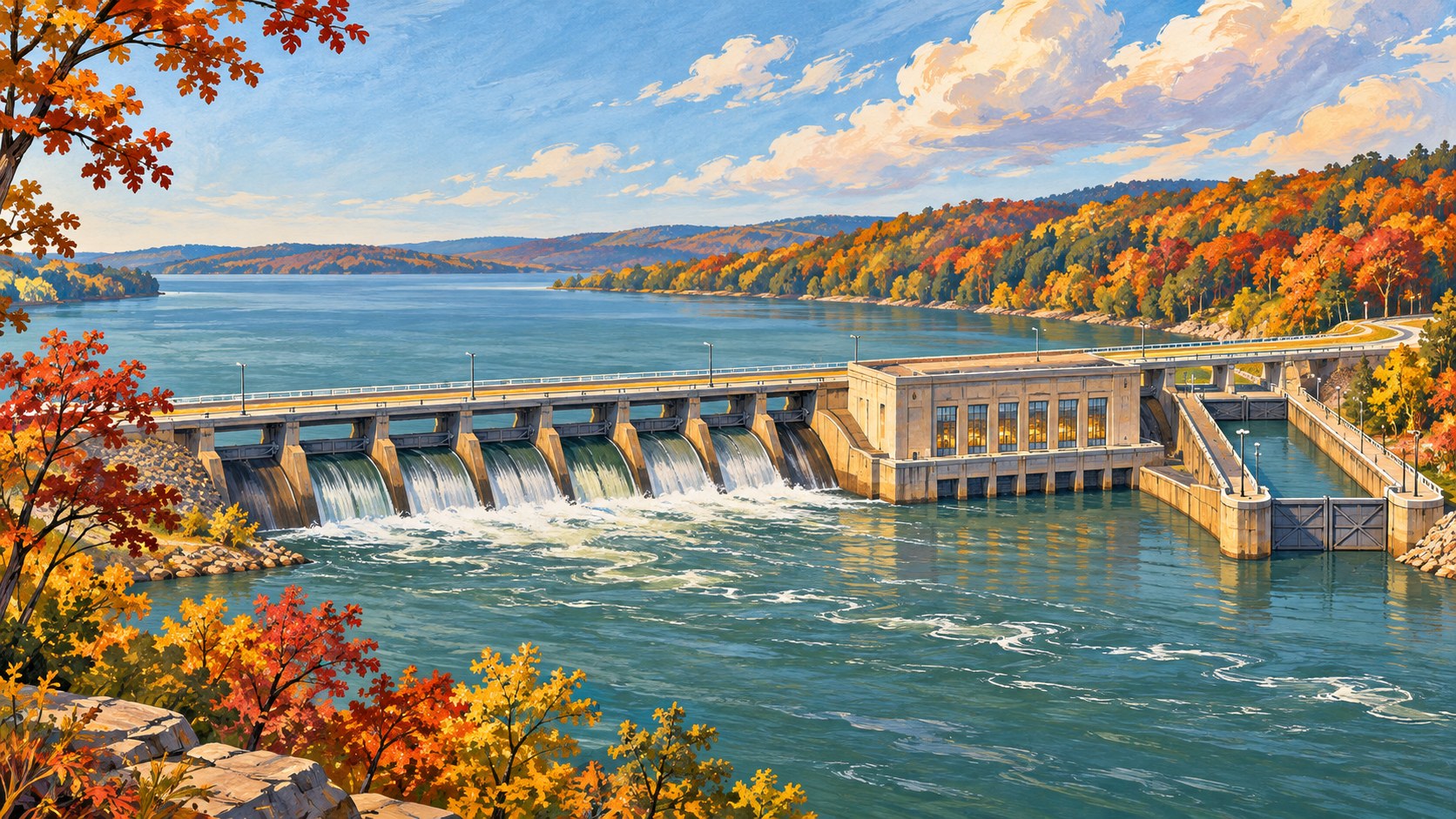
Wheeler Dam is more than a place to cross the Tennessee River. On the Town Creek side of Lawrence County, it offers a way to understand why the river became a route for boats and a source of electricity. The useful first decision is what kind of outing you want: a brief view of the dam and river, or a separate day on Joe Wheeler State Park trails. A working dam is not a promise of an interior tour, public lock access or a particular roadside stopping place.
The Lawrence County Commission's Wheeler Dam page describes a New Deal project built for navigation, power and flood control. It also provides the county's local context, dimensions and reservoir figures. For a visit, the public sources are narrower: Alabama Tourism's route suggests a view near the state park cabin area on the Lawrence County side. Neither source establishes current parking, an accessible path, a dam tour or opening hours for a particular day. Check the operator and posted signs before committing to a stop.
Locate the Town Creek side without assuming an entrance
The county identifies Wheeler Dam with Town Creek, Alabama. Use Wheeler Dam, Town Creek, AL for broad map orientation, then verify the actual approach you intend to use. A map search is not an access permit, and the county page does not specify a visitor entrance.
Alabama Tourism mentions a dam view near the Joe Wheeler State Park cabin area on the Lawrence County side. Treat that as a lead to check, not a guarantee of an open parking spot or a safe pedestrian vantage. Do not stop on a bridge or operational road to photograph the locks. If a step-free route, restroom or firm stopping place determines whether the trip works for your group, contact the park or site operator first.
| If you want… | Choose this plan | Confirm before leaving |
|---|---|---|
| A short dam-and-river view | Orient to the Town Creek side and look for a lawful, currently open public viewpoint. | Current parking, signs and access; do not assume the dam or lock interior is open. |
| A longer walk or park day | Use the separate Joe Wheeler State Park trail guide and pick a specific park entrance. | Trail start, current conditions, fees and access needs; a dam map pin is not every trailhead. |
This distinction matters because the cabin-area view and the park's recreation routes are separate decisions. A scenic stop should not turn into an unsafe search for an unmarked lock or a tour that has not been offered.
What the dam changed about the river
The county says construction began in 1933 and the dam was completed in 1936. The county describes its New Deal-era purpose as improving navigation, generating power and controlling floods. Wheeler was not simply a wall across the river: the project created a managed reservoir and a passage for river traffic at a change in water level.
The county lists Wheeler Dam as 72 feet high and 6,342 feet across. Its account says Wheeler Reservoir covers 67,070 acres and has 1,027 miles of shoreline. Those last two figures describe the entire reservoir, not a Town Creek parcel, a visitor-access boundary or a promise of water frontage for nearby homes. The county also lists 11 generating units and a net dependable capacity of about 402 megawatts. Capacity describes the facility's capability, not what it is producing at the moment you visit.
The local history extends beyond machinery. The county describes thousands of workers on the project and a regional economic shift from construction and new river uses. That is a reason to read the scene as a 1930s public-works landscape as well as an engineering site. The county overview does not identify individual workers or settle every effect of the dam, so this article does not put invented names or experiences into that history.
Locks solve a different problem than turbines
The county lists two locks, one 110 by 600 feet and another 60 by 360 feet. It says they accommodate large barge traffic and help overcome a 52-foot difference in elevation between reservoirs. A lock is a controlled water chamber that raises or lowers a vessel so it can continue along the river. A turbine has a different job: it uses moving water to generate electricity. That is how one facility participates in both navigation and the power system.
You do not need to stand beside a lock to understand that distinction. Look at the county's dimensions before the trip, then interpret the river crossing only from wherever current public access permits. The figures describe the built facility, not a current lock schedule or permission to enter an operational area.
For a different nearby outing, my Joe Wheeler State Park trails guide helps choose a route and trailhead. That guide addresses walking and park access; this one explains the dam, reservoir and locks. Follow the park's current instructions if your day extends beyond a brief river stop.
Final Thoughts
Wheeler Dam makes more sense when you separate where you may stop from what the structure does. The Town Creek side is the Lawrence County orientation; current signs and operators determine a safe public vantage. The reservoir reshaped the river, turbines generate electricity, and the locks let boats cross a change in level. The 1933–36 construction links those systems to the region's New Deal history.
Want Personalized Real Estate Help?
If you are exploring Lawrence County as a place to live, a short visit can help you ask better questions about the river and nearby communities. Explore Lawrence County homes to see the broader area; listings do not establish waterfront access, flood risk or a particular view. Contact me to discuss your housing priorities and the property-specific questions to verify.
Sharing is Caring:
Author

Sources and review notes
Lawrence County Commission and Alabama Tourism pages checked November 7, 2026. Neither page confirms a tour, current parking, a step-free viewpoint or today's operations. The featured image is an original interpretive illustration, not a photograph or a map of Wheeler Dam.