Jessica Hassan
Flint Creek is a tempting name to put into a navigation app and follow into Bankhead National Forest. For a rider near Moulton or elsewhere in Lawrence County, the harder question comes first: which line on the ground is a designated motorized trail, and which is a forest road or another trail? The answer matters even if the ATV fits on the trailer and looks narrow enough for the woods.
The Forest Service describes Flint Creek Multiple-Use Trail as 16 miles shared by motorcycles, ATVs under 50 inches wide, horseback riders, bicyclists and hikers. It is a designated route, not permission to ride every dirt track in Bankhead. This guide separates the route decision from the equipment and day-of-visit decisions.
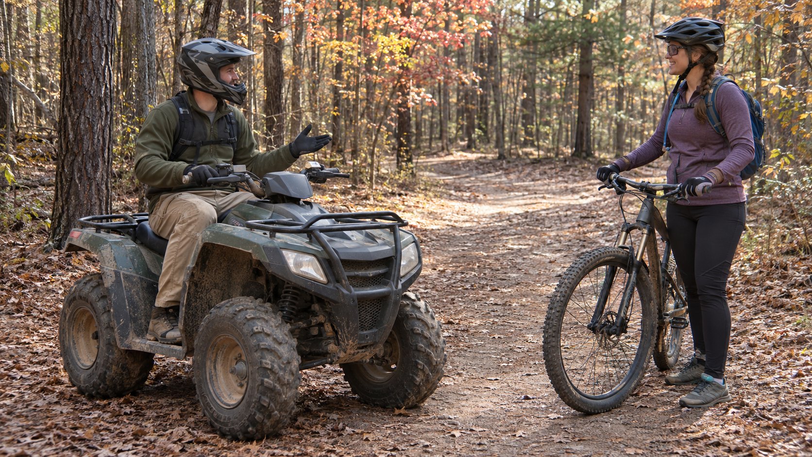
Image note: The featured image is an AI-generated, generic shared-trail scene. It does not show Flint Creek, a Bankhead trailhead, a current route or actual visitors.
Let the motor-vehicle map answer where riding is allowed
A recreation map is useful for seeing Bankhead in context. The Forest Service maps page makes a more specific demand of motorized visitors: obtain the current Motor Vehicle Use Map (MVUM), which it says is reissued each year. That map identifies designated motorized routes and vehicle classes. The Forest Service warns that some older Avenza digital maps can no longer be updated, so a saved app map is not automatically the current authority.
There is a reason to check the edition before using even an agency link: the Bankhead MVUM PDF linked from that maps page is labeled Alabama 2016 on the map itself. The page’s newer update date does not turn that PDF into a current motorized-route decision. Ask the Bankhead Ranger District for the current Bankhead MVUM and match its legend and designations to the specific route you intend to use.
The agency’s ATV public notice says Flint Creek and Kentuck in the Talladega National Forest are the two designated ATV/OHV trails in Alabama’s national forests. It separately says registered and state-licensed OHVs may use open Forest Service roads, rather than turning those roads into trails for every unlicensed machine. The distinction is about route designation and legal vehicle status, not whether a road is wide enough to drive.
| What you see on the map | What the published rule supports | What it does not settle |
|---|---|---|
| Designated Flint Creek motorized trail | Motorcycles and ATVs under 50 inches wide are among the listed uses; check the current MVUM’s exact route designation. | A machine’s width alone does not establish that every nearby track is open. |
| Open Forest Service road | The ATV notice distinguishes registered and state-licensed OHVs on open roads from trail-only machines. | Being able to reach a road on a map does not make an unlicensed ATV road-legal. |
| Another path or unmarked branch | No motorized permission follows merely from the existence of a visible track. | A recreation overview or old app map cannot replace the current designated-route record. |
Consider two machines arriving on the same trailer. A 48-inch ATV could meet the trail page’s width rule, but its rider still needs the current route and condition check. A 52-inch ATV does not meet that published Flint Creek limit, even though a different Alabama park may allow a wider vehicle. Measure the actual machine at its widest point, including a configuration that changes its width, and use the district office when the measurement or classification is close. The Buck’s Pocket OHV guide explains that park’s different rule; it cannot grant permission on a federal trail.
Plan for people moving at different speeds
“Multiple-use” changes how a ride feels. The same Forest Service trail description includes horses, bikes and people on foot, so an ATV group cannot plan its pace as if it has an exclusive track. A Forest Service-hosted shared-trail etiquette guide advises motorized users to yield to bikes, runners, hikers and horses, keep speed and dust down near others, and slow where sight lines are poor.
A horse encounter is a good example of why that guidance is more than a courtesy slogan. The guide tells OHV riders approaching a horse from behind to stop, make themselves known and ask the rider how to pass; a horse moving aside is not by itself a signal to accelerate through. This does not replace posted trail rules or training. It does give a first-time visitor a useful expectation: allow room and time for someone else to complete the encounter, rather than treating every stop as an interruption to a planned lap.
Use the published facts without turning them into today’s clearance
The trail page lists 16 miles and no water. The 2026 Forest Service fee schedule lists Flint Creek Trailhead at $3 per operator and “open all year.” Those facts help set expectations for the outing: bring the water you need, allow for a mixed-use trail rather than a private high-speed loop, and count operators when checking the charge. The mileage is a trail-system description, not a promised ride length or duration for the route you choose.
“Open all year” is a seasonal listing, not a live report after rain, maintenance or a temporary closure. Before loading, read the Forest Service’s current alerts alongside the current MVUM. If a route or access question remains, ask the Bankhead Ranger District at 205-489-5111 about the specific date, trail and vehicle. The map, fee schedule and current-condition answer each do a different job; none alone settles all three.
If the motorized route does not fit your equipment or your day, a lakeside visit is a different Bankhead outing. The Brushy Lake day-use and small-campsite guide compares a water-focused visit with an overnight setup. Its lake access is separate from Flint Creek’s motorized designation.
Final Thoughts
For Flint Creek, choose the lawful line before you choose a ride distance. Match the actual machine to the trail’s under-50-inch rule, use the current MVUM to keep trail and road permissions separate, and leave room for hikers, bikes and horses. Then check alerts and the district’s current information for the day you intend to go. That sequence makes the Forest Service’s 16-mile description useful without mistaking it for an all-clear.
Want Personalized Real Estate Help?
If access to Bankhead is part of why Lawrence County interests you, I can help you compare the homes, land and everyday routes behind that goal. Contact me to talk through the place and property questions that matter to your move. You can also explore Lawrence County-area homes as a broad starting point; a listing does not establish trail proximity, legal vehicle use or permission to store equipment at a particular property.
Sharing is Caring:
Author