Jessica Hassan
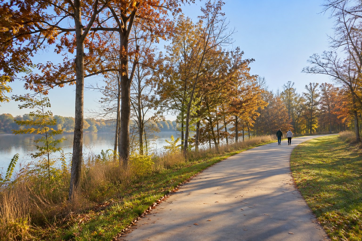
AI-generated photorealistic greenway scene for context; it is not a photograph of the South Huntsville Greenway Loop.
The South Huntsville Greenway Loop is a new way to connect several familiar paths, but its published 17 miles is a full circuit, not a quick walk from the parking lot. A first visit works better when you choose one entry, a turnaround and a return before you leave home. The City of Huntsville’s July 2026 completion notice describes the continuous loop and its new 1½-mile Tennessee River Greenway link from Redstone Road to Green Cove Road.
Understand what the 17 miles describes
The city calls the completed route a continuous 17-mile loop in South Huntsville. It includes Aldridge Creek Greenway and reaches Ditto Landing and the Tennessee River. The city’s South Greenway Loop map is the route reference to use for the whole circuit: it identifies component corridors and connecting paths, rather than offering a single short trailhead-to-trailhead walk.
That distinction matters when an older city page gives another number. The Aldridge Creek Greenway page lists 5.49 miles for that component. The Tennessee River Greenway page lists 0.93 mile for its Ditto Landing–Madison County Marina segment. Those are segment descriptions, not alternative measurements of the entire new loop. A 2025 construction notice described a planned 15-mile loop before the July 2026 completion announcement reported 17 miles; use the newer completion notice and map for the current whole-loop description.
Choose a short walk with an easy return
For a first Aldridge Creek visit, the city lists parking at Ken Johnston Park and Ditto Landing. Pick one of those official parking points, find the signed greenway entrance on site, and walk only as far as suits your time before retracing your route. A one-mile outward walk would mean roughly two miles back to the same start; the 17-mile loop length does not determine that outing.
Ditto Landing also gives access to the city-listed Tennessee River Greenway segment toward the Madison County Marina. The city describes that segment as 0.93 mile and lists trailhead parking at Ditto Landing. It is a practical separate out-and-back option, but check the current map and wayfinding before assuming the whole circuit has a continuous riverside trail or that every junction is self-evident.
Save the full circuit for a deliberate plan
For the full circuit, start at Ditto Landing on the official loop map. Following the mapped loop clockwise: travel west along the Tennessee River West corridor; continue north on the new Tennessee River Phase 3 link, then Eglie’s Walk; turn through the Haysland connection and east along the Weatherly Road multi-use path; finally use the Aldridge Creek connector and Aldridge Creek Greenway south to return to Ditto Landing. This is an ordered map-reading aid, not turn-by-turn directions or an assertion that every crossing is signed. The map also depicts proposed multi-use paths in red dashes, including a Bailey Cove connection; do not treat a proposed line as an open segment of this circuit.
The official map is titled “South Greenway Loop System” and labels 21.36 miles for the broader mapped system. That is not the same measure as the city’s 17-mile completed loop announced in July. Use the map’s green routes to trace the circuit, then check city trail updates and on-site signs on the day. It does not promise parking, lighting, drinking water or current open access at every point; allow for road crossings and changing conditions, and keep a shorter turn-back plan.
A walker or cyclist considering a home near the route should test the actual entrance and return during the time they would normally go. A listing description that says “near a greenway” does not prove a public entrance, a safe crossing, a specific distance or a connection to this loop. For another, separate corridor, my Meek Greenway first-walk guide explains the open North Huntsville segment and its still-planned campus link. Read each city map on its own terms.
Final Thoughts
Use the city’s 17-mile figure to understand the connected South Huntsville system, then make your first outing smaller: choose a listed parking point, confirm the entrance, set a turnaround and return the way you came. Save the full circuit for a day when you have mapped the connectors and checked current conditions.
Want Personalized Real Estate Help?
If you are comparing Huntsville-area homes and want to see how an outdoor routine fits your everyday trips, browse a broad Huntsville-area home search. The search covers a wider area than any one trail entrance; confirm each property’s actual access and travel route. Contact me to talk through your own priorities and questions.
Sharing is Caring:
Author